

Picos de Europa
The Ultimate Hiking Guide!

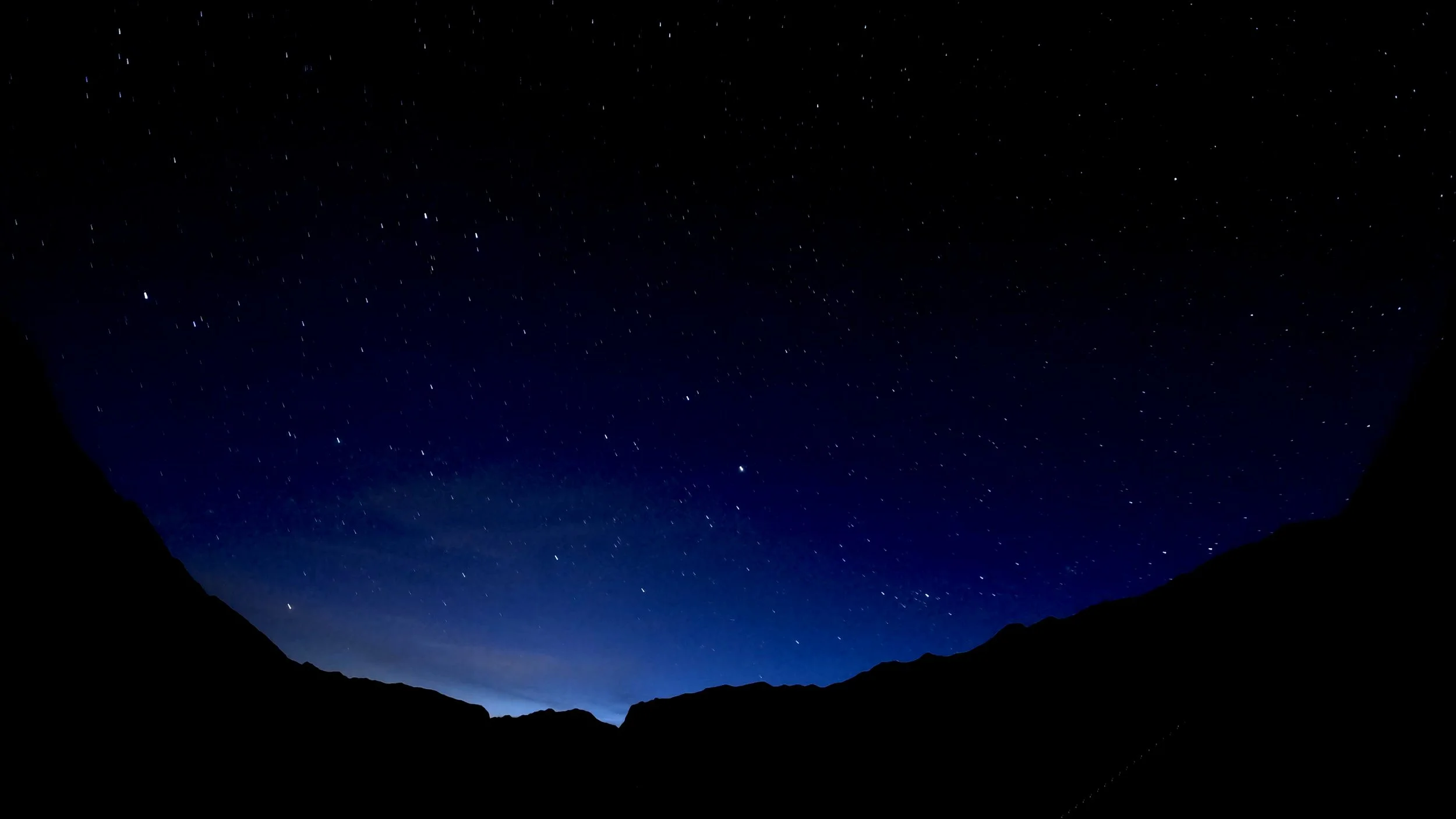
Why hike in the Picos de Europa?
The Picos de Europa is a stunning mountain range in northern Spain, spanning Asturias, Cantabria, and Castilla y León. Known for their dramatic limestone peaks, deep gorges, and lush valleys, it's a paradise for hikers. The area boasts rich history and culture, including the significant site of Covadonga, linked to the Reconquista. Local cuisine, especially the famous Cabrales cheese, adds to the experience. With welcoming mountain refuges, you can easily extend your adventure overnight. The Picos de Europa offers a perfect blend of natural beauty, adventure, and cultural richness.
Some of my favourite takeways from this beautiful location are:
Quiet and free from tourists - the Picos alloys you to get a glimpse into Spain and Spanish culture free from the mass crowds of tourists that roam the South of the country.
Trails of varrying difficulty - the Picos de Europs consists of peaks of 2,600m+ but also picturesque valleys and diverse wildife. No day will be the same as you will pass through huge variations of landscape in small distances.
Accessible - the Picos contain many refuges, hotels and campsites that can cater for all trips that are reached with relative ease and affordability. See my map on accomodation for more.
Food - the food is varied, delicious and extremely well priced. I was stunned by how much good food I ate everywhere in the Picos!
Why read this guide?
This guide will provide you the resources you will need to plan your trip to the Picos de Europa. This includes hikes of varying lengths and difficulties as well as the multi-day ‘Ruta Circular’ hike I undertook in 2024.
The guide provides important information on accomodation, travel (car or bus), food, when to visit and much more… Scroll down a little and let your imagination take you as you get ready for your next adventure!
Check out my adventure!


The Key Facts
Walk length | 116km (72miles)
Elevation gain | 8,800m (28,000ft)
Difficulty | Moderate to difficult
Start / End | Fuente Dé
Recommended time to hike | May to September
Busyness on trail | Not very busy
The Route

Weather
The weather in the Picos de Europa is famously unpredictable, influenced by its complex topography and diverse microclimates. The rapid elevation changes within the mountains cause significant temperature fluctuations and variable weather patterns. Interaction between Atlantic and Mediterranean air masses often leads to sudden and dramatic shifts in weather conditions. Warm, moist air rising over the peaks can cool quickly, leading to unexpected cloud formation, rain, or even snow. This variability makes precise weather forecasting in the region particularly challenging.
Top tip: Never trust the weather forecast more then 24 hours in advance! The weather changes very rapidly, you must be prepared for all weather conditions during your adventure. The day before I started, my weather forecast was predicting 5 days of thunderstorms! Thankfully, that wasn’t the case at all as the weather changed so rapidly for the better :)
Waterproofs (including boots) are essential as well as sun cream, and a cap to protect you from the sun. In general, you won’t need crampons if hiking during the summer months. Winter conditions can be highly unpredictable and only go during the winter if you’re an experienced hiker.
Weather Forecasts
Getting to the Picos de Europa
Plane
The closest airports around the Picos de Europa are:
Santander
Distance to the Picos: 130km (80miles)
Bus connections to Potes (and Fuente De) from Santander bus station, see below.
Bilbao
Distance to the Picos: 230km (140miles)
Bus connections to Potes (and Fuente De) via Santander bus station, see below.
Oviedo
Distance to the Picos: 170km (105miles)
León
Distance to the Picos: 250km (155miles)
Bus
Generally, bus connections are quite limited especially outside of June - August. The easiest way to arrive to the Picos I found is via Santander.
Santander to Potes
Bus operator: Autobuses Palomera
Start: Santander Bus Station — Finish: Potes
Bus timetable:
Santander to Potes: 10:15 - 12:40 | 11:15 - 13:40 | 15:00 - 17:25 | 17:00 - 19:25
Potes to Santander: 07:00 - 09:15 | 08:15 - 10:30 | 09:30 - 11:45 | 16:15 - 18:30 | 18:00 - 20:15
Price: €9.50
How to book: you can buy a ticket on the bus, no need to book in advance.
There is only service to Fuente De (24km further from Potes) in the peak summer season in July and August. Outside this time, you can take another bus to Espinama (5km from Fuente De) and then walk 30mins. There are only two buses leaving Potes to Espinama every day at 08:15 and 13:15. There is one return bus at 15:00.
Travelling from Bilbao
The bus line to Potes starts at Santoña (approximately 1 hour 30mins away from Bilbao). However, you can take a bus from Bilbao to Santander and then take the bus as above to Potes. The buses between the two cities are operated by Alsa, find out more by clicking the link. They run several services every day.
Oviedo to Arenas de Cabrales
You will have to take two buses for this route as follows:
Oviedo to Cangas de Onis (1hour 30mins)
Bus operator: Alsa - find timetables here
Price: €7,25
Cangas de Onis to Arenas (Cabrales) (35mins)
Bus operator: Alsa - find timetables here
Price: €3,05
León to Cain
This route is very infrequent, it is advised to use a car to get to the Picos from Leon.
Car
The Picos de Europa is most accessible by car. Cars can be rented at all the airports and major cities (Santander, Oviedo, Gijon, Bilbao etc). Some roads in the Picos are steep and narrow with significant drop offs. If you aren’t fully comfortable driving, check the roads before you depart.
Useful Spanish phrases
Don’t expect to be able to use English all around the Picos. Whilst some of the more populated areas may be ok, expect to only speak Spanish at the refuges, small villages and with many local hikers. One of the beauties of the Picos is its lack of international tourism and retained Spanish culture, but this comes with having to know some phrases yourself!
Good day / good morning: buenos días
Good afternoon: buenas tardes
Thank you: gracias
Please: por favor
Bye: adiós
De nada: you’re welcome
Bread: pan
Cheese: queso
Ham: jamón
Water: agua
How much does it cost: cuánto? Or cuánto cuesta?
Do you speak English? : ¿hablas inglés?
Toilet: baño
I’m lost: Estoy perdido
Hiking path: ruta de senderismo
Cash or card: efectivo o tarjeta
Key Contacts and Emergencies
Dial 112 for mountain rescue and ALL general emergencies.
Make sure you have adequate insurance cover. Many insurers specify the maximum elevation they will cover you to. Make sure you are ensured to all elevations on your hike. The maximum elevation at the Picos de Europa is approximately 2650m.
It is advisable to leave a copy of your insurance with a member of family or friend, and take the original with you. EU citizens are eligible to reduced cost (sometimes free) urgent medical treatment through the European Union Health Insurance Card (EHIC) in all three countries. However, payment may be required at the time of treatment, so be adequately insured.

Further References
There are some great ways to get further information regarding the hike! These three resources are where I find out most about any hike, not just for the Picos de Europa.

-
One of my most underrated souces of information, there is a facebook group for any hike out there. In the case of such a popular walk, there are many groups with thousands of members each.
Ask any question, read other questions, other posts, a faebook group is just a trasure trove of informtion. I can guarantee any question will get answered.
In addition, checking groups on the day of hiking can give important updates on the trail condition or anything ese to be aware of.
-
To get a real sense of the feeling of a trail, there is no better site. YouTube offers a unique insight where words on a page simply are not enough. When watching a video, try and look out for things like busyness on trail, the path condition at the time of year and small details like sources of water, streams etc.
Most youtubers (below 10,000) subscribers will answer questions you may well have as well, I certainly do!
Finally, plug for my own video… I’ve tried to express my thoughts and feelings during the video as well as sharing some stunning scenary, so check it out!
-
My go to guides are always Cicerone.
For £10 - £20, the level of detail is second to none. Detailed descriptions of each stage with lots of key facts mean the guide is well well worth it.
You will be able to learn abut the local area’s deep history as well as the geology of the area through this guide.

YouTube is a great source of information, not just my video! ; )
This guide is a being updated as we speak! What else is coming…
Top 5 trails in the Picos
Top 3 peaks to climb
Accomodation
Food
When to go
Guided vs self-guided
Packing advice
Cash or card
Phone and internet
Maps and waymarking